Tonopah Test Range
The Tonopah Test Range, about 30 miles southeast of Tonopah, is another semi-secret test facility within the boundaries of the Nellis Range Complex. It is located roughly 65 miles northwest of Area 51. Another official designation for TTR is Area 52. This can be found on page 34 in this Official DOE Report from August 1998.
Originally founded in 1957 as a ballistic range for testing airborne weapons, it later became a primary test site for explosive studies, managed by Sandia National Laboratories. In the mid-1980's, the first squadron of top-secret F-117 Stealth Fighters was stationed here for tactical evaluation, after initial development at Area 51, but long before the project was unveiled to the public. In more recent years the base has been used as a center for the surrounding electronic combat ranges, and quite likely evaluation of various black projects. Since 2005, possibly longer, a newly formed squadron at TTR performs tactical evaluation of new UAV designs and operational strategies.
On April 22, 2008 the remaining F-117 Stealth Fighters returned to TTR for storage. Although this was supposed to be the last flight of the F-117 a few of them can to this day (12/2019) be seen regularly flying out of TTR for missions over the ranges and in Death Valley. Not much is known about the nature of these missions. One possibility is the use of the F-117 with a well documented radar cross section to test newly developed sub-systems for a new stealth aircraft that is not yet operational. The F-117 has also been observed participating in air-air combat over the ranges.
In the spring of 2019 a massive construction project at TTR required large amounts of dirt to be trucked in. For well over a month several dozen dump trucks a day brought in loads from as far away as Glendale, NV, 250 miles away. Although some runway improvements were observed the exact nature of the construction is still unknown as of 12/2019. At the same time a clear upswing in the Tonopah economy, which largely depends on employment at TTR, is evident. All this seems to indicate a major new project at TTR, possibly related to the new B-21 bomber which is under development at the nearby Area 51.
Related links:
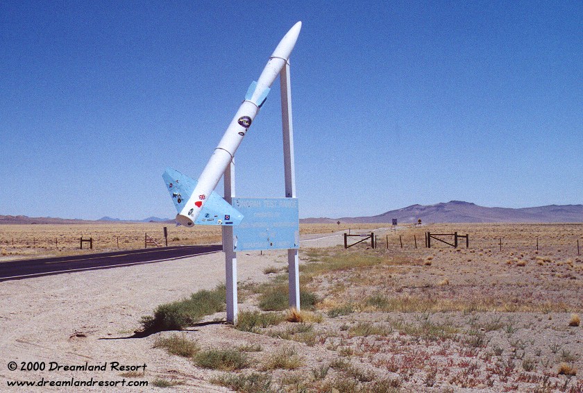
The road from Hwy 6 to the main gate of TTR. The rocket reminds of the original role of TTR as a ballistics missile test range. The sign says "Tonopah Test Range, Operated by Sandia National Laboratories for the Department of Energy". You can drive down the paved road south for 19.7 miles, up to the main gate of TTR. Note: The fence and cattle guard at 16.7 miles is not the boundary.
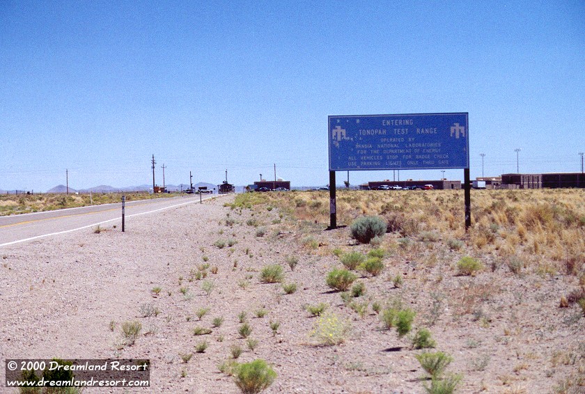
The TTR main gate and some of the nearby living quarters on the right. The large complex of 2-story buildings can easily be seen on new satellite photos. The sign says "Entering Tonopah Test Range, Operated by Sandia National Laboratories for the Department of Energy".
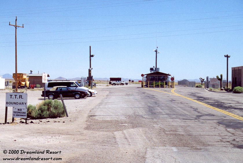
Close-up of the main gate. Notice the signs that simply state "TTR Boundary, No trespassing". No "Use of deadly force authorized" here...
The building in the middle of the road is the guardhouse. The dirt road on the left, in front of the signs, leads back to Hwy 6 after 22 miles, at mile marker NY 38.7. It also leads to the Brainwash Butte viewpoint, described below.
The TTR main gate and the complex of living quarters just inside the perimeter. One of the white buses that bring in workers from Tonopah and other nearby locations, is just leaving the gate and heading north to Hwy.6. It is the same type of bus that is in use at Area 51. We have observed as many as three buses leave the base between 4.30 and 5.10pm.
Like the Groom bus, these buses have several stops where they drop off workers. One of them is the old "Silverlanes" bowling center in Tonopah, south of Hwy 6 at the east end of town. On workdays you can see anywhere between a handful and several dozen vehicles parked there, indicating the level of activity at TTR that day.

The flightline of the TTR airport. Click in the picture to zoom in. On the left, along the runway, you can see several rows of hangars. They were used for the F-117 Stealth Fighter evaluation in the 1980's, when it was still a Black Project. The control tower can be seen on the right, and on the far right are more, larger hangars and the Janet terminal.
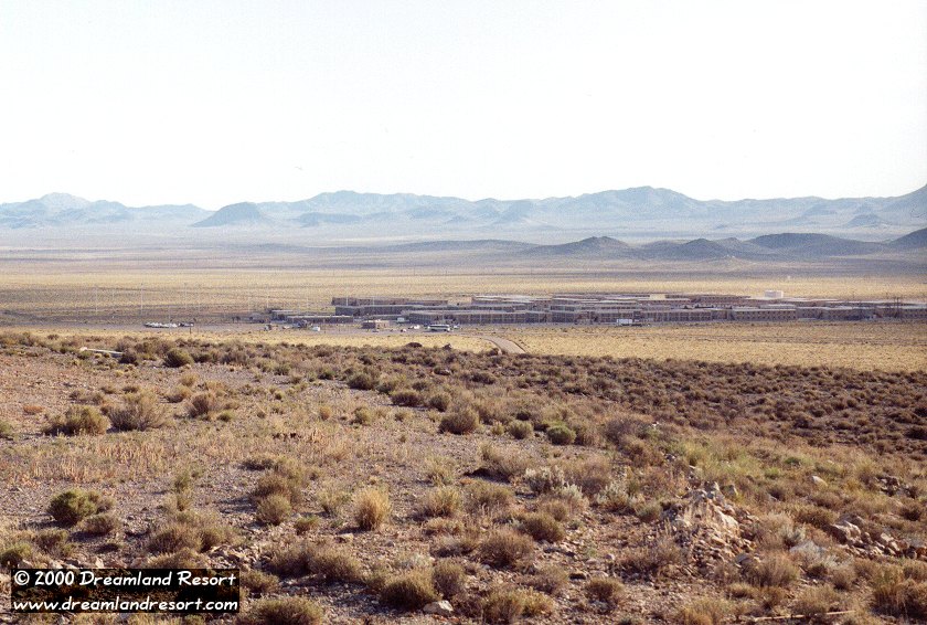
In the background you can see fuel tanks, a water tower and a large building with what looks like a large radar on the roof. The hills in the foreground are the "Monitor Hills" with Monitor Peak on the far right. They are located on public land, and afford an excellent view over TTR. The panorama was taken on 10/6/2001 from an elevated location near Tonopah, over 30 miles away.
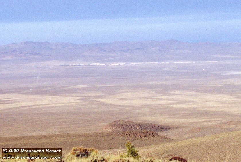
View of the TTR Airport from a viewpoint known as Brainwash Butte (what a name!). You have an excellent view over almost the entire Test Range from here, including the various targets and radar equipment in the valley south (left) of TTR. With a 4WD it is possible to drive right up to this viewpoint, but there is little cover here, and a vehicle driving up can easily be seen from the base. For a stealthier approach, you can park out of sight, and hike the last few hundred yards.
This is an excellent spot to monitor activities at TTR, including in- and outbound Janets. The distance to the tower is just under 14 miles. Obviously the 80mm lens used for this shot is not the best equipment. With a good set of binoculars or a spotting scope you can see quite a bit of detail. For a much better panorama of TTR, taken from this view point, click here.
© Copyright 1999-, Dreamland Resort. All rights reserved. Copyright Policy Privacy Policy Page last modified 12/22/2019
