Message posted by Jim Poston on March 19, 2021 at 15:37:43 PST:
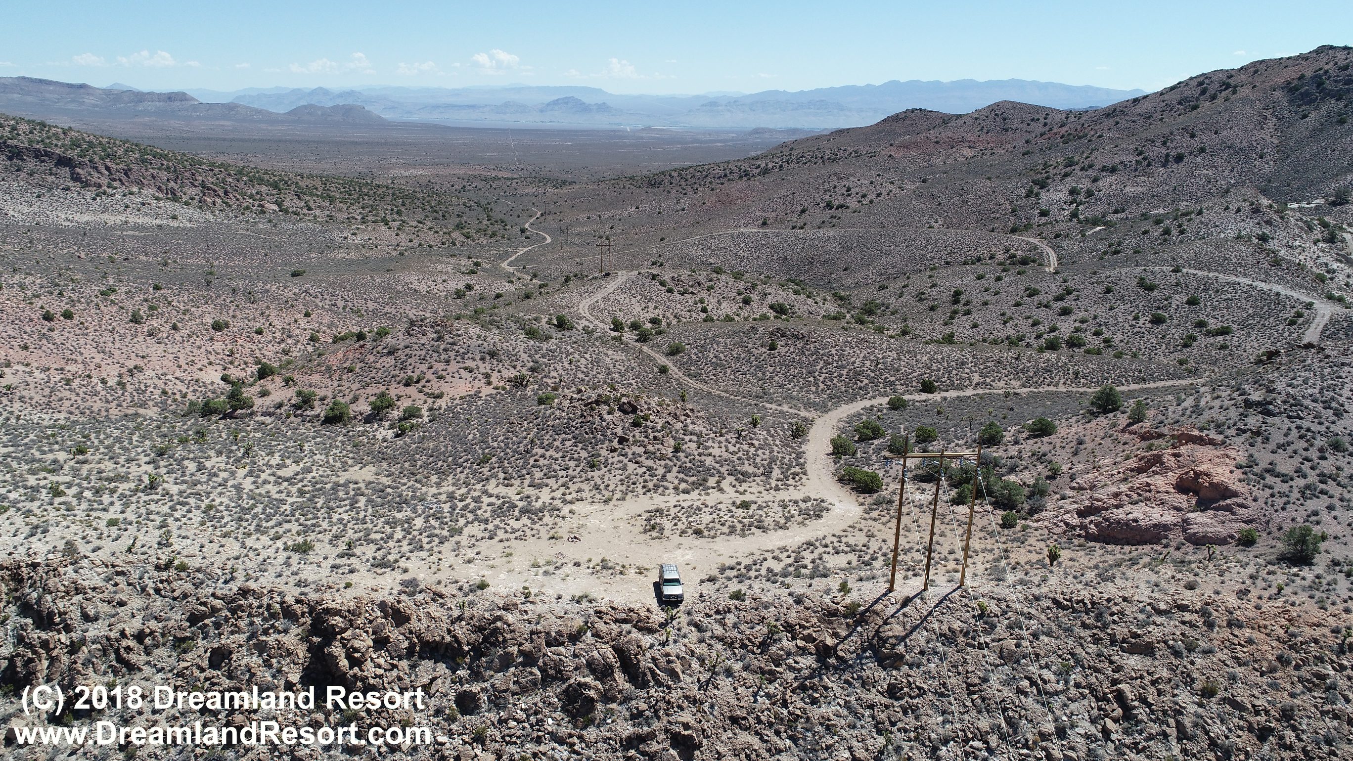
Long-reader, first-time poster! tl;dr: The road to the Powerlines Overlook is still a bit wet, and gas is available in Rachel. I needed to go down to Las Vegas from northern Nevada, so of course I planned it during Red Flag 21-2. I've never camped around Rachel, mostly driving past at 75 mph, watching out for black cows jumping into the road. My wife and I were traveling in an Xterra with an R-pod camping trailer. We pulled into Horney's Rest Stop on Tues 16 Mar. No one else was there and we set up in a nice pretty-level spot. We unhitched and headed to the Power Lines Overlook. I didn't bother airing down the tires (50 psi from towing the trailer), so the road was rougher than it needed to be. We headed much farther north than I thought we would, but no more guidance was needed than "follow the main road." There were two steep sections with snow and mud that required attention, but not a difficult drive otherwise. Without snow and mud, a good driver with 2wd could make it. Didn't see any action 1700-1800. The next morning we were boomed around 0700. We headed up to the overlook, but no luck 0730-0900. We hitched up and headed into Rachel. I had checked with Joerg about gas available now in Rachel, and sure enough Alien Cowpoke gas is open 9am-5pm. Card readers are not activated yet, so need to pay inside. Gas price isn't displayed either, but it's $4.50/gallon. Cheap if you need it, but way expensive if you don't. (A good $1-$1.50/gal higher than Ash Springs or Tonopah.) We continued over the Queen City Summit and turned on to Cedar Ranch Road. Quite a bit of high-level dogfighting and a mess of contrails in the northeast part of the range, but nothing very low. Just an update on conditions, if you're planning a trip. -- Jim
Replies: