Message posted by lone wolf on July 04, 2006 at 17:05:33 PST:
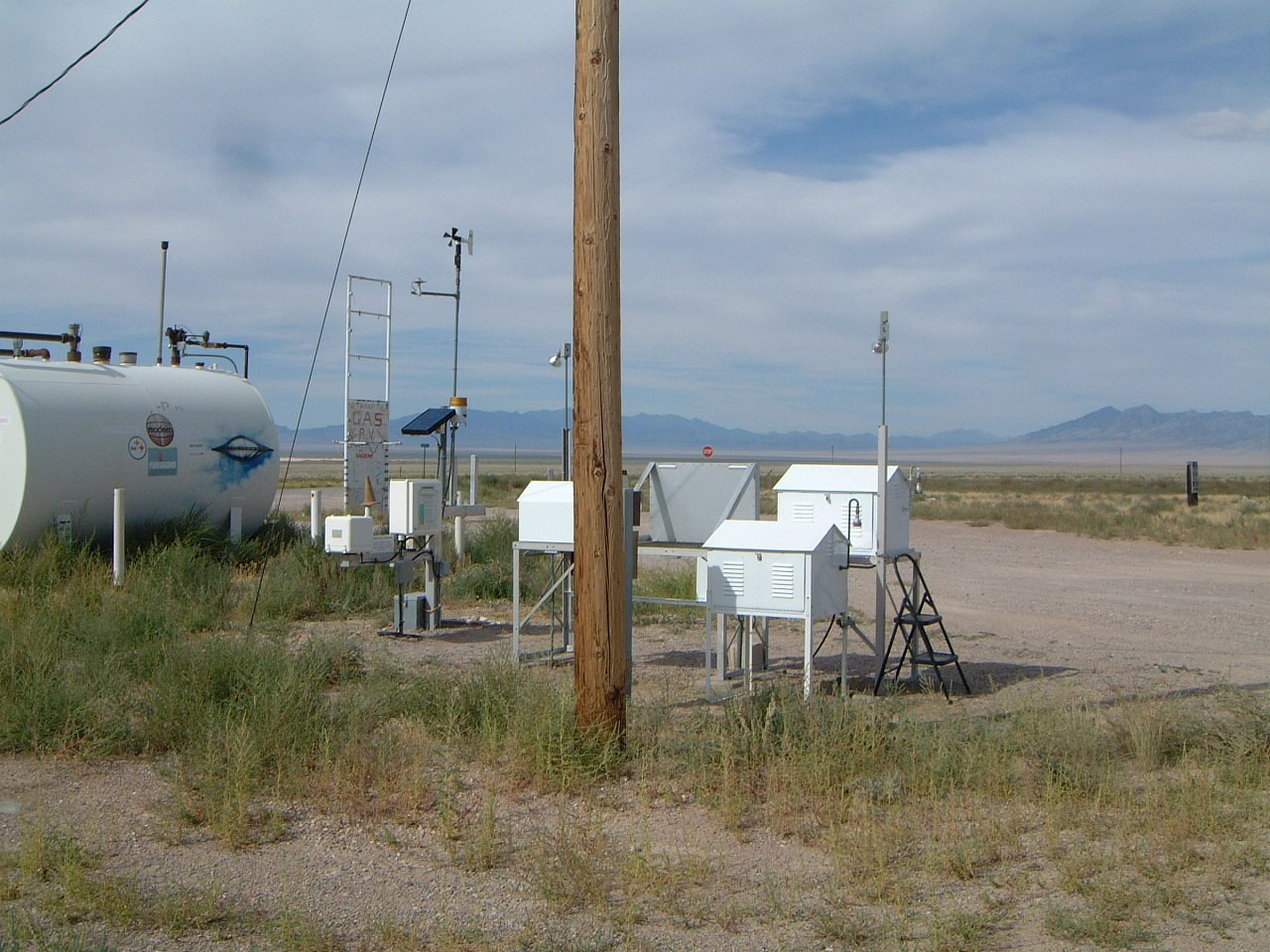
I was there prior to the clean up and during the clean up, but haven't been there when the equipment was installed. The cross polarization of the first antenna indicates a satellite link, which isn't all that unusual these days. Many of the remote "fire" weather stations I find "out back" have satellite hook ups. The other antennas I assume point at basecamp or some other terrestrial location. The DOE has a repeater facility near Warm Springs. The air radiation monitoring sites don't look like anything you have photographed. I'm sure you saw the one near the Quick Pic, which is the image link I provided. Here is the map of site locations: You can read the CEMP sites here in real time (or whenever they post the data):
http://www.nv.doe.gov/library/publications/Environmental/Figures/Fig6-1_11718_1080.pdf
I haven't see the TLD sites around the ranges, though I've seen them elsewhere. Generally it's just a dosimeter hung on a fence or post that they periodically physically collect. The radiation fogs the film or something to that effect.
http://www.cemp.dri.edu/
It is possible they drilled ground water monitoring wells and hooked up instruments. That photo with the pipe sticking up could be one. When you drill a well correctly, you never let ground water reach the well. [Ground water dirty, well water clean, so don't mix them.] The pipe sticking up in the air may insure that surface water doesn't enter the ground water well.
I don't think they would be measuring radiation deep in the earth. They know it's "hot". ;-)
In Reply to: Re: 6/24&25/06 Trip Report posted by Scot Tway on July 04, 2006 at 15:12:45 PST:
Replies: